
Asia In News
How China's Risky Brahmaputra Dam Could Affect India
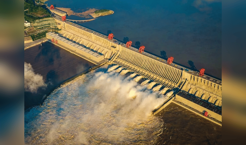

China has begun constructing a colossal $167 billion hydropower project on the Yarlung Tsangpo River in Tibet, which flows into India as the Brahmaputra, igniting fears of a "water bomb" that could disrupt water flows and heighten tensions between the two nations. Dubbed the world's largest dam by experts, this initiative near the Arunachal Pradesh border promises enormous clean energy but raises red flags for downstream India due to its location in a seismically active zone prone to landslides and quakes.
Arunachal Pradesh Chief Minister Pema Khandu labeled the project "risky and dangerous," warning it could trigger devastating floods during monsoons or starve the river in dry seasons, crippling agriculture, fisheries, and ecosystems in Assam and beyond. The Brahmaputra supports over 30% of India's freshwater needs, powering irrigation for vast farmlands and habitats like Kaziranga National Park; sediment buildup behind the dam might erode riverbanks while reduced flows threaten food security for millions.
With no formal water-sharing treaty in place—unlike the Indus Waters Treaty with Pakistan—analysts see this as Beijing flexing strategic muscle amid ongoing border disputes, potentially diverting flows to fuel China's growth at India's expense. Bangladesh, where the river becomes the Jamuna, shares similar concerns, prompting calls for a trilateral monitoring framework.
India is pushing back aggressively, fast-tracking its 11.2 GW Siang Upper Dam to counter surges and investing in real-time hydrological data-sharing talks with China. River-linking projects like Manas-Sankosh-Teesta aim to redistribute water regionally, while alliances with Bhutan and Myanmar bolster early-warning systems against these transboundary threats. As construction ramps up, the dam underscores escalating India-China water geopolitics in the Himalayas.